Topex/Poseidon: "An ocean topography experiment to measure and map sea level at two frequencies, 5.3 & 13.6 Gigahertz, to increase our knowledge of large scale ocean circulation."
GOES: "Provided data to refine the geodetic and geophysical results of earlier missions within the National Geodetic Satellite Program while serving as a test for new systems."
ERS-1: "Designed for mean sea surface and geoid analysis." -Topex, GOES, and ERS-1 definitions found at http://www.ae.utexas.edu/courses/ase389/sensors/alt/alt.html
. . .Along with several little personal touches to make this site my own. Hey, I gotta be me.
AVIRIS: Airborne Visible InfraRed Imaging Spectrometer. "It is a unique optical sensor that delivers calibrated images of the upwelling spectral radiance in 224 contiguous spectral channels (also called bands) . . . The instrument flies aboard a NASA ER-2 airplane at approximately 20KM above sea level." -AVIRIS definition found at http://makalu.jpl.nasa.gov/html/overview.html
GPS: "The Navstar Global Positioning System (GPS) is a constellation of orbiting satellites that provides navigation data to military and civilian users all over the world." -GPS definition found at http://spacecom.af.mil/norad/gps.htm
Shake the Elvis!!!
Me recovering from my first night at Mardi Gras. At least I made it back to the room, eh?
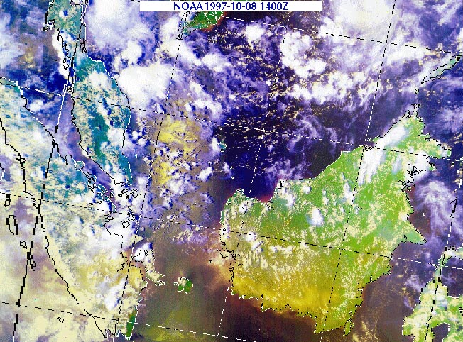
A satellite beam can only penetrate the seawater by about a centimeter.
Although satellites can not penetrate very far beneath the sea surface, they can give an accurate estimate of the geoid, which reflects the bathymetry of the ocean floor.
Band width is important to satellite oceanography, because a wider pulse width can allow the satellite to collect more linear data over an area at once. This leads to greater continuity of data, and would provide more accurate data for changes in elevation over linear distance.
Historic Marietta, Georgia landmark known affectionately as "The Big Chicken".
. . .Summer cruise '98, pulling in to New York City. A yankee haven, yes, but we had fun anyway.
Infinite bandwidth is not possible, because simple physics would not allow a finite transceiver to emit a beam infinitely wide.
This is me with my sweetheart Lisa, spending time together in Baltimore.
If tasked with building a satellite that would not be limited by physics or CPU memory, I would make one with a transceiver powerful enough to cover the globe with each pulse. The accompanying receiver would really need no special functions other than enough memory to hold that much data for every pulse of the satellite.
On site at the location of my yankee imprisonment: The United States Naval Academy, Annapolis.
Mr. T Dedication Corner!!!!! Click on the image to link to Mr.T quotes, suckha!!!


